EAST Albany Airport to Lanesborough
Albany International Airport to Lanesborough, Mass.
Cams in the order you pass them. Follow me is for a passenger or for planning, not for the driver: a blue dot rides down the rail. Your location stays on your phone.
- StartAlbany International AirportFollow signs to I-87Mile 0.1
- ColonieNew York · Elev 310 ft40°F Clear · Wind 5 mph
- Exit 4SOUTHAlbanyAdirondack NorthwayMile 2.6
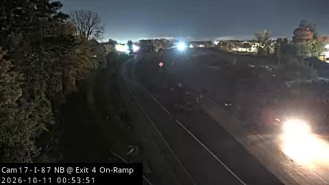
Exit 4 (NY 155
Mile 3.1
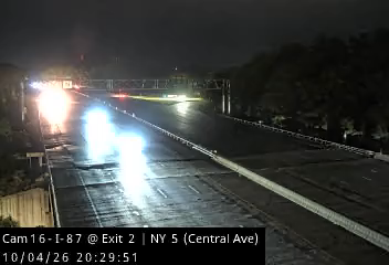
Exit 2 (NY 5 - Central Avenue)
Mile 5.4
- Exit 1EEASTAlbany, BostonMile 6.4
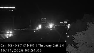
I-90 / Thruway Exit 24
Mile 6.5
- AlbanyNew York · Elev 270 ft39°F Clear · Wind 5 mph
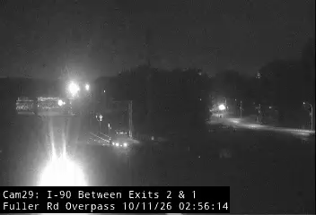
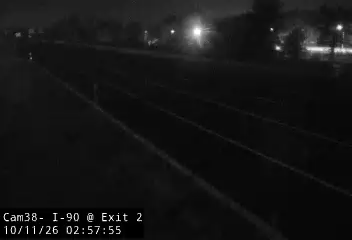
Exit 2
Mile 7.6
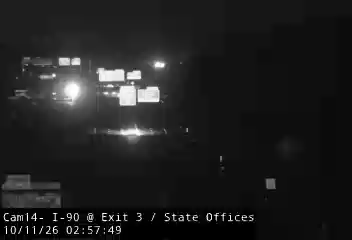
Exit 3 (State Office Campus)
Mile 8.6
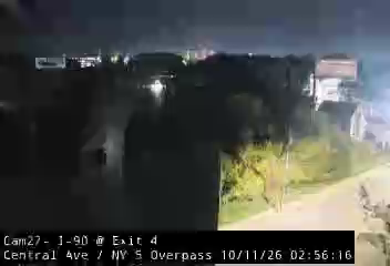
Exit 4 (Central Ave Overpass)
Mile 9.2
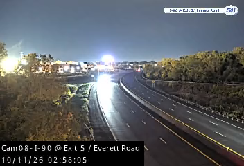
Exit 5 (Everett Road)
Mile 10.0
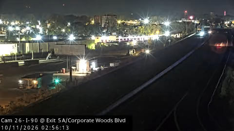
Exit 5A (Corporate Woods Boulevard)
Mile 10.6
WB Between Exits 6 and 5A
Mile 11.4
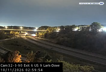
Lark/Dove Bridge
Mile 12.1
- RensselaerNew York · Elev 160 ft41°F Clear · Wind 5 mph
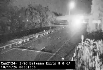
Between Exits 8-6A
Mile 13.8
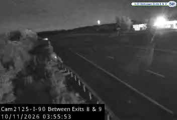
Between Exits 8-9
Mile 14.9
- East GreenbushNew York · Elev 250 ft44°F Clear · Wind 7 mph
Between Exits 10-9
Mile 18.4
- SchodackNew York · Elev 350 ft42°F Clear · Wind 7 mph
- Stay on I-90 past Exit 11Toward the Berkshire Connector
- ⋮ 6 mi
- Keep leftEASTBostonBerkshire Connector, toll billed by plateMile 26.9
- 6.5
- ChathamNew York · Elev 360 ft44°F Clear · Wind 6 mph
- ⋮ 6 mi
- 15.1
- CanaanNew York · Elev 700 ft44°F Clear · Wind 6 mph
- 17.8
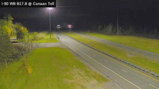
Canaan Toll Gantry
Mile 38.8
- ⋮ 5 mi
- 23.4
- EnteringMassachusetts
- West StockbridgeMassachusetts · Elev 930 ft39°F Clear · Wind 3 mph
- 3.0

Rt 41
Mile 48.1
- StockbridgeMassachusetts · Elev 1,000 ft38°F Clear · Wind 3 mph
- LeeMassachusetts · Elev 1,020 ft40°F Clear · Wind 1 mph
- Exit 10Lee, PittsfieldMass Pike exit, LeeMile 55.7
- LeftWESTLenox, PittsfieldWest Center St in LeeMile 57.2
- LenoxMassachusetts · Elev 1,170 ft43°F Clear · Wind 6 mph
- ⋮ 6 mi
- PittsfieldMassachusetts · Elev 1,160 ft37°F Clear · Wind 1 mph
- Exit 11EEASTNassauUS 9 South / US 20 EastMile 21.4
- ⋮ 5 mi
- NassauNew York · Elev 440 ft41°F Clear · Wind 6 mph
- ⋮ 7 mi
- New LebanonNew York · Elev 610 ft41°F Clear · Wind 6 mph
- ⋮ 6 mi
- Lebanon Mountain aheadAbout 800 ft of climb in 4 miles on two lanes. Dark, winding, deer.
- EnteringMassachusetts
- HancockMassachusetts · Elev 1,520 ft44°F Clear · Wind 6 mph
- Summit, 1,535 ftDownhill into Pittsfield
- PittsfieldMassachusetts · Elev 1,160 ft37°F Clear · Wind 1 mph
- LeftNORTHPittsfield, LanesboroughSouth StMile 49.9
- Bear rightNORTHDowntownOne way through PittsfieldMile 50.2
- RightNORTHNorth StAt the roundaboutMile 51.1
- LanesboroughMassachusetts · Elev 1,100 ft38°F Clear · Wind 3 mph
- LanesboroughYou made it
Routes from OpenStreetMap data (© OpenStreetMap contributors) via OSRM. Cams: NYSDOT/511NY, MassDOT/Mass511. Weather: Open-Meteo.